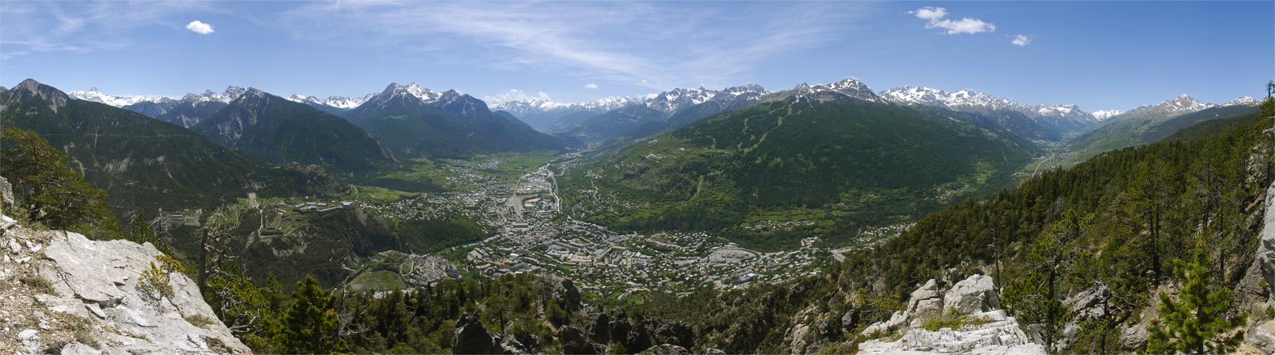
| Cycle through labels: |
|
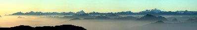
| Fort de l'Infernet |
| Turge de la Suffie |
| Pic de Rochebrune |
| L'Arpelin |
| Petit Peygu |
| Grand Peygu |
| Sommet de Crete des Granges |
| La Grande Maye |
| Pic de Chalanches |
| Fort de la Croix de Bretagne |
| Pic de Haute Muraire |
| Cime du Melezin |
| Pic de Peyre Eyraute |
| Briançon |
| La Durance |
| Vallée de la Durance |
| Tete de Vautisse |
| La Guisane |
| Pic de Montbrison |
| La Condamine |
| Sommet du Prorel |
| Montagne des Agneaux |
| Pic Gaspard |
| Vallée de la Guisane (Serre-Chevalier) |
| Pic de Combeynot |
| Pic des trois Evechees |
| Pic Blanc du Galibier |
| Le Grand Area |
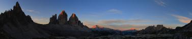
A view of Briançon from the Croix de Tolouse.
Briançon in proudly referred to as the highest city in Europe, being at an altitude of 1,326m and boasting a population of about 12,000. It lies in a large hollow at the confluence of the Durance and the Guisane rivers. The historical centre is a strongly fortified town, defended by a number of fortress built by Sébastien Le Prestre de Vauban, a military engineer of King Louis XIV. |
||||||||||||||||
|
|||||||


Comments
Leave a comment